Skip to main content
User account menu
Log in
English
Danish
Deutsch
Dutch
Main navigation
Ons Werelderfgoed
UNESCO-status
Ontstaan
Geologie
Ecologie
Biodiversiteit
Kids explain
Ons werk
Natuurbehoud
Duurzame ontwikkeling
Natuureducatie
Onze organisatie
Trilaterale Waddenzee Samenwerking
Gemeenschappelijk Waddenzee Secretariaat
Partnership Hub (netwerk)
Internationale samenwerking
Symposia en conferenties
Uw bezoek
Denemarken
Sleeswijk-Holstein
Nedersaksen en Hamburg/ Neuwerk
Nederland
Bezoekerscentra
Wandelen
Gedraag je
Nieuws & downloads
Nieuws
Downloads
Nieuwsbrief
Merkentoolbox
Evenementen
Zoeken
Zoeken
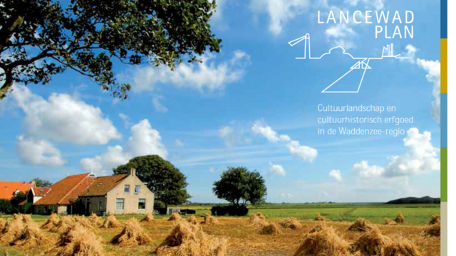
LancewadPlan folder
Download
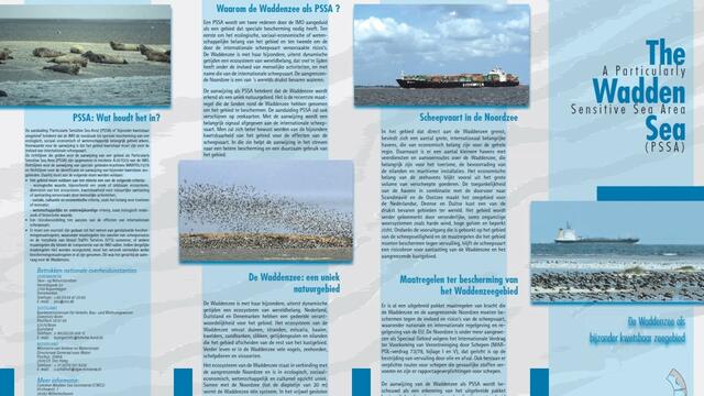
Folder: De Waddenzee als bijzonder kwetsbaar zeegebied
Download
Paginering
Previous page
‹‹
Subscribe to Duurzame ontwikkeling